How GIS Maps Help to Build the Urban Forest
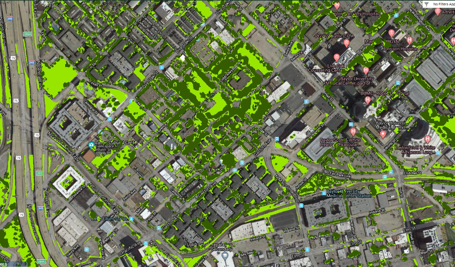
Using maps and data to assess and improve tree canopy cover in North Texas Maps are a powerful tool used in urban forestry that help people understand the different types of trees a city has, where they are located, and about their health and growth. Most mapping […]
How GIS Maps Help to Build the Urban Forest Read More »